During a fascinating talk Anna Morris explained the role and work of Gloucestershire Archaeology’s Sites and Monuments Record which seeks to create and develop a comprehensive record of all archaeology within the County, including sites of finds.
The SMR currently consists of a large and very sophisticated database of about 30,000 individual records of sites and artefacts dating from the Palaeolithic period right up until World War Two. This information can be searched and presented in a variety of ways including plotting on large and small scale maps. In this way all archaeological finds in a specific area or all examples of a specific type of monument found throughout the entire county can be displayed.
Gloucestershire Archaeology has close links with other organisations and is currently working with the English Heritage Aerial Survey Team on several National Mapping Programme (NMP) projects, mapping and recording archaeological features shown on aerial photographs and also two major surveys: the Severn Estuary Rapid Coastal Zone Assessment and a survey of the Forest of Dean. The latter survey is being conducted using the newly-developed LiDAR technology which enables accurate aerial images of the ground surfaces to be produced despite dense vegetation that would normally preclude such a result.
Anna gave examples of the ways in which Gloucestershire Archaeology can assist individuals and local societies and it is expected that FHS will take advantage of this offer.

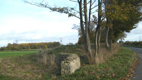
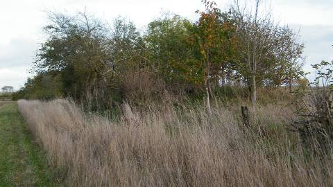
thought to be the centre of Brightwell’s Barrow Hundred
and a meeting place, possibly Bronze Age.

